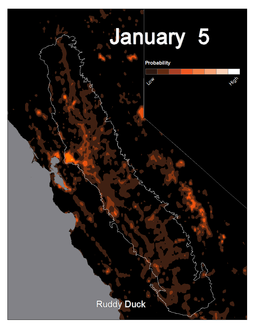
In support of The Nature Conservancy's Migratory Bird Program, the IGISc recently developed R and Python scripts to automate the conversion of the Cornell Bird Lab's Spatio-Temporal Exploratory Model eBird observation data into maps focusing on California's central valley. These maps were then converted into gifs to display observation probability of different species over a calendar year. The example shown here shows the relative probability of observing a ruddy duck (Oxyura jamaicensis). The darker the hue, the lower the probability of observation.
Project Lead: Aiko Weverka
Project Staff: Seth Hiatt and Biniam Mengisteab