Welcome to the Institute for Geographic Information Science
The Institute for Geographic Information Science (IGISc) is a research institution dedicated to the promotion and support of geographic information technology. We continuously strive to stay at the cutting edge in geospatial software and analytical methods in order to provide the highest quality training, consulting, and research support.
Services

Research
- Spatial Data Analysis
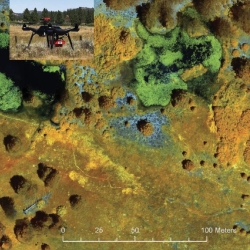
- Object and Pixel-Based Remote Sensing
- Database Development
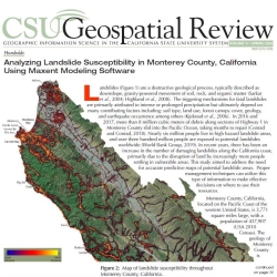
- Statistical and Geostatistical Modeling


Consulting & Support
- Installation and Licensing
- Data Management
- Software and Hardware Recommendations
- Web Mapping Projects
