Active Projects
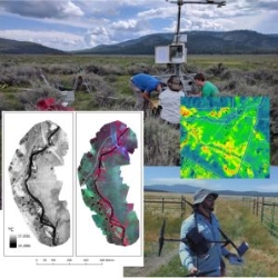
GHG Benefit Monitoring at the Clover Valley Ranch Meadow Restoration Project
City to Cell (C2C) Project
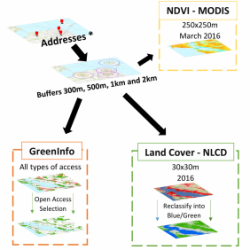
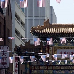
Measuring the Fast Food Environment of California Schools
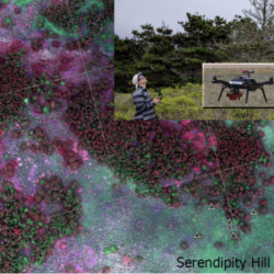
2D & 3D Mapping with Drones
Past Projects
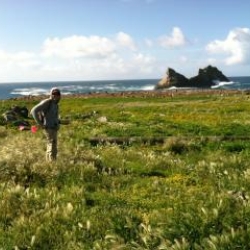
Vegetation Mapping on the Farallon Islands
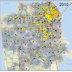
Measures of Residential Segregation
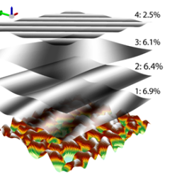
2D discrete Fourier transform analysis of karst and coral reef morphologies
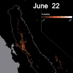
Migratory Bird Mapping
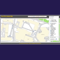
Campus Web Map
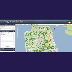
LIIF Geomap
COSMIC Database
Impact of Light Diffusion on Ecosystem Productivity